Imagery. Information. Intelligence.
Owyhee Air Research is leading the way in natural resource data acquisition.

We harness the most advanced aerial survey technology available in order to provide actionable insights.
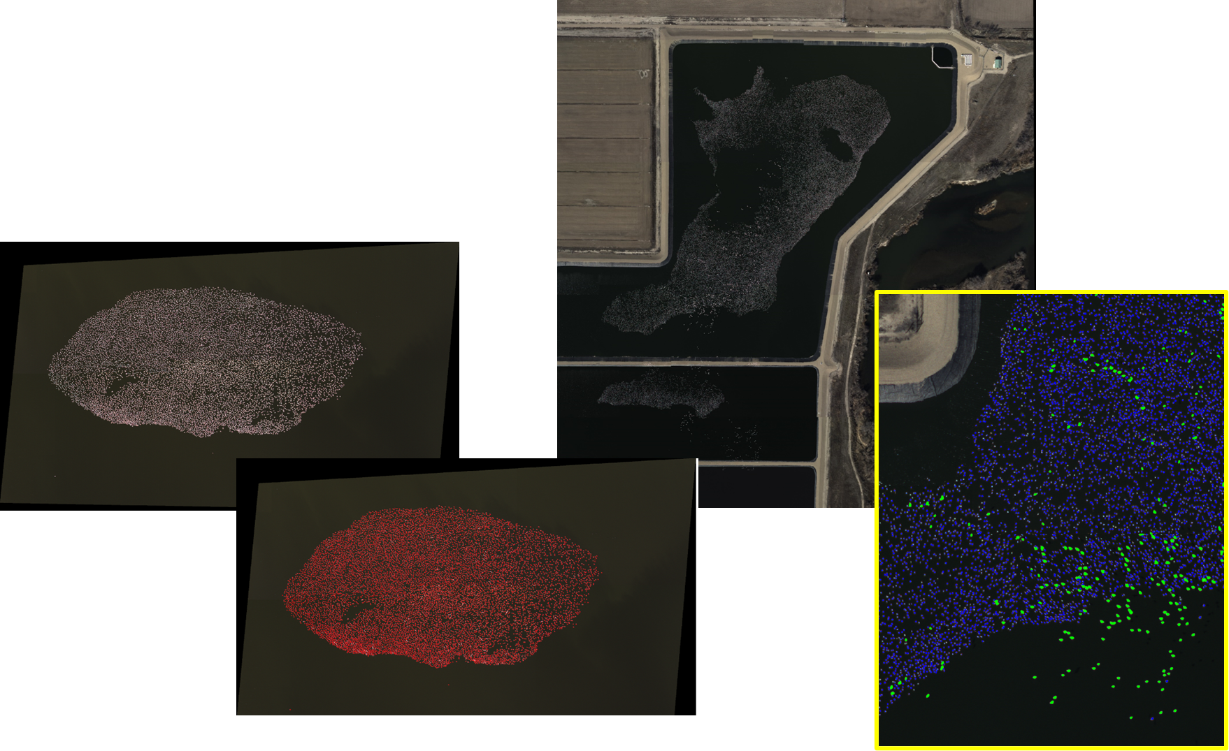
From herds to flocks to packs, our fixed wing platform and high resolution cameras allow for landscape scale surveys with little to no disturbance to the animals.
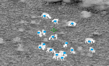
Whether on the open range or under tree canopy, we detect, identify, and sex species of interest through imagery and video with real-time place markers for improved count accuracy and efficient survey area coverage.
AIR Wildlife Surveys
The OAR team has made significant contributions to the field of avian population ecology by developing and refining novel techniques for detecting and monitoring upland game species, including the Greater Sage-grouse. One such technique is the use of aerial infrared imaging (AIR) surveys, which allow us to identify and count birds from the air based on their body heat signatures.
These surveys have proven to be an effective and efficient way to gather population data on the Greater Sage-grouse and other upland game species, particularly in large and remote areas where ground surveys can be difficult or impractical.
Work with us and gain a more comprehensive understanding of the population dynamics and habitat requirements of the species in your area.
Habitat Analysis
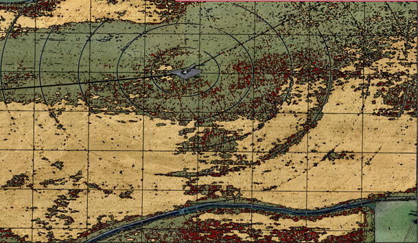
Make informed decisions for your land with our cutting-edge insights. Our comprehensive data on forest health, crop yield, post-fire vegetative succession, and habitat distribution empowers you to optimize your land management practices and achieve the best results for your property.
Learn more about how we can deliver the knowledge you need, exactly when you need it.
Crop Depredation and Yield Analysis
We provide fast and highly accurate data on crop health and yield to help farmers and researchers maximize profits and make better decisions. Using state-of-the-art technology and advanced analytics, we monitor crop growth and health from the air, identifying areas of potential depredation and predicting yield with unmatched precision.
Our team of experts provides in-depth analysis and insights to help farmers optimize crop management practices, reduce risk, and improve profitability.
Let us to provide the actionable intelligence you need to take your crops to the next level.
Invasive Species Assessment
We provide industry-leading solutions for identifying and managing invasive species in agriculture, forestry, and beyond. With our state-of-the-art aerial telemetry technology and expert analysis, we provide farmers, land managers, and other stakeholders with the actionable intelligence they need to detect and mitigate invasive species quickly and effectively.
Our service not only helps prevent the spread of harmful species but also improves land and ecosystem health, ultimately benefiting farmers, conservationists, and the broader community.
Trust us to provide the innovative and effective solutions you need to protect your land and the environment.
